Disclosure: This post may have affiliate links and we may earn compensation when you click on the links at no additional cost to you.
Fifth in series of posts about traveling in Colorado & Wyoming.
Boulder and Beyond
Pearl Street in Downtown Boulder is a pedestrian mall with plentiful shops and eateries and enhanced by trees, flowers, statues, and street entertainers. We went in the morning to check it out and snag a light breakfast from one of the coffee shops. We missed experiencing the street entertainers. Some were starting to set up as we were leaving.
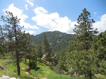
If you visit Boulder, Colorado in the warmer weather, as we did, you can’t help but understand why young, and not so young, active people love it, not just for skiing. People are on the move: by scooter, by bike, by foot. Chautauqua Park and the Flatirons and the hiking trails leading from them beckon. As do the winding roads leading to upland park areas and numerous trails. There are numerous pull-offs and parking areas if you want to stop and rest or take photos, or go hiking.
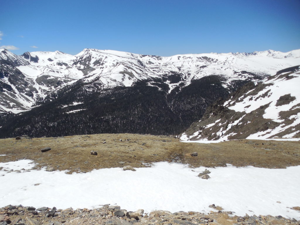
Getting High at Rocky Mountain National Park
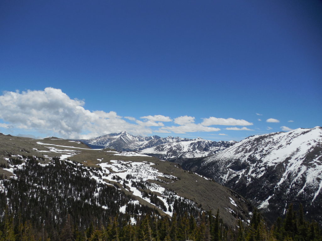
Our next destination was Cheyenne, Wyoming. Our travel plans were to drive through part of Rocky Mountain National Park on Trail Ridge Road to the highest point, 12183 feet in elevation, and the Continental Divide along the way. Rocky Mountain National Park is one of over 400 parks in the National Park System.
While there were lines to drive into the park, the shortest was the one for America the Beautiful Pass holders. I have a Senior Lifetime Pass so we sailed right through the Entrance Station. The Parks Service offers Senior Annual for $20 and Lifetime Passes for $80 for U.S. citizens or permanent residents age 62 or over. Applicants must provide documentation of age and residency or citizenship. The passes are for admission for the driver and passengers in a vehicle and there are some discounts for amenities, too. You can apply in person at a Federal recreation site, online, or by mail. Click here for the link for more information.
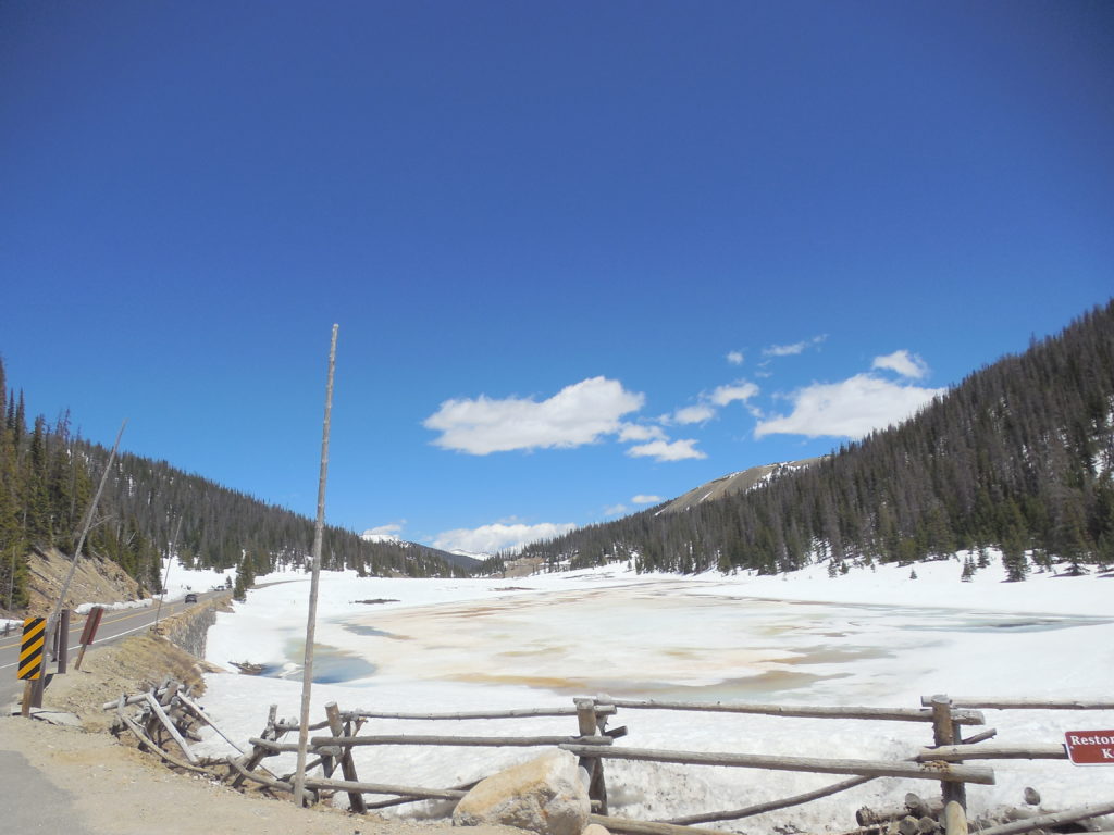
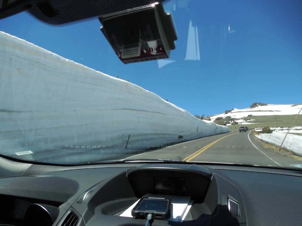
Luckily, they had just opened the Trail Ridge Road scant days before. The practice is to close the highest stretch of road from Many Parks Curve to the Colorado River Trailhead from mid-October until Memorial Day. (Sometimes later, depending upon the snow.) The snow banks along the road were stunningly high. Seeing them we understood why the road had been closed until just recently. The Trail Ridge Road has the distinction of being the highest continuous auto road in the country and holds the highest byway distinction.
Higher and Higher
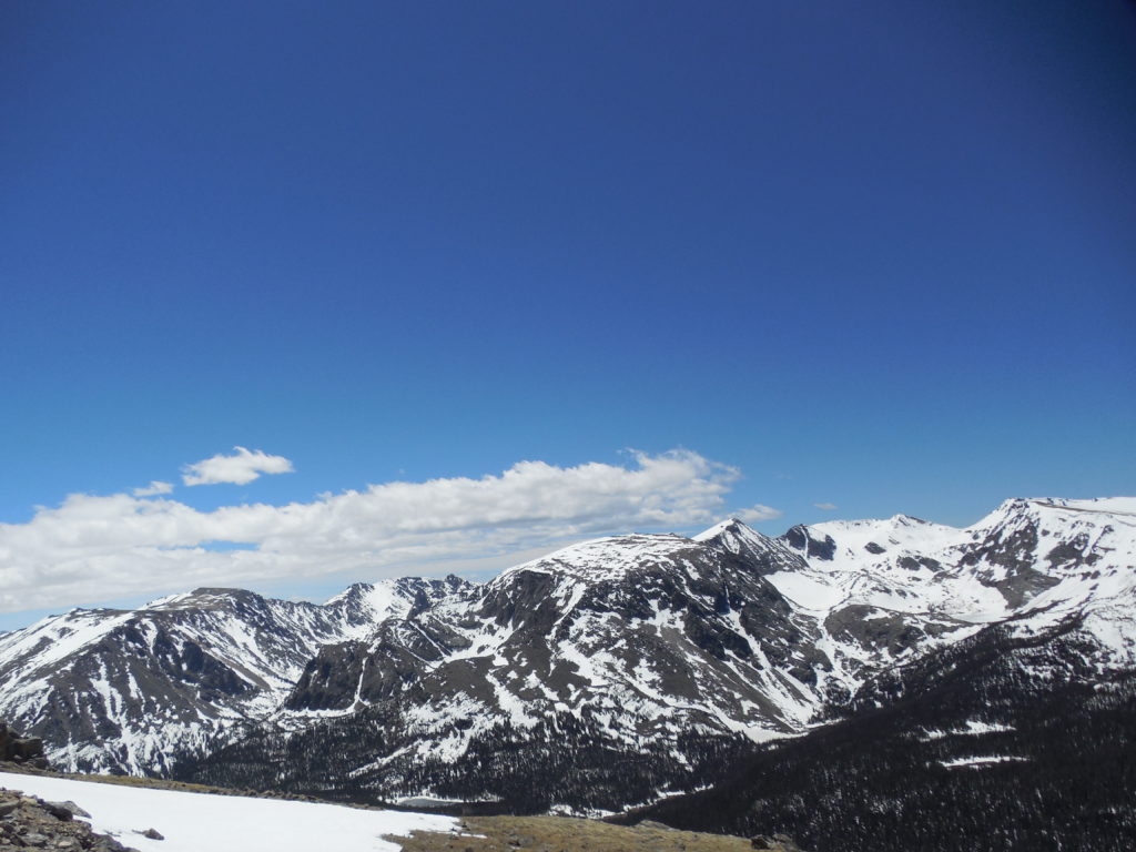
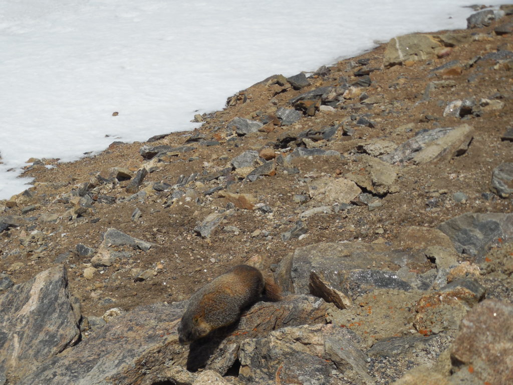
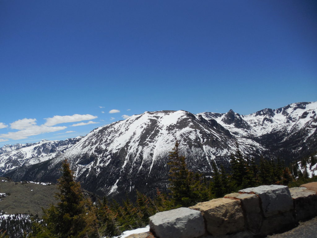
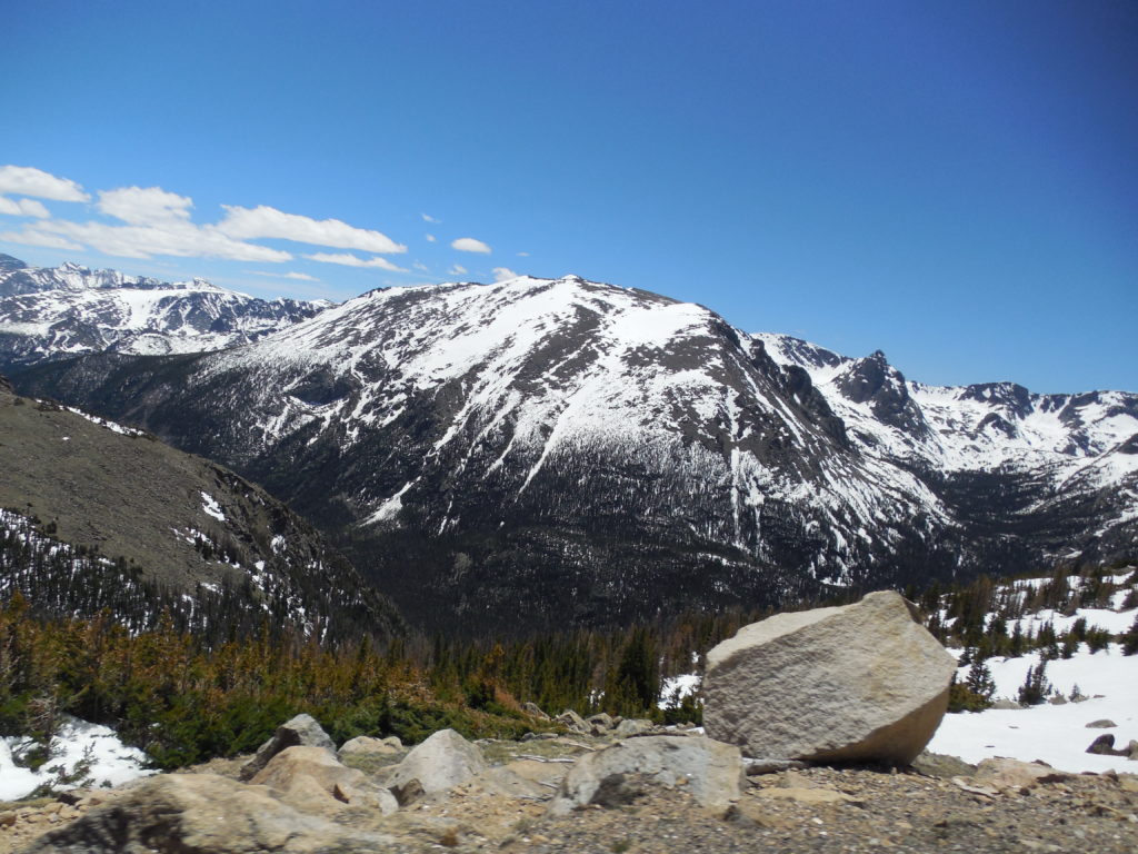
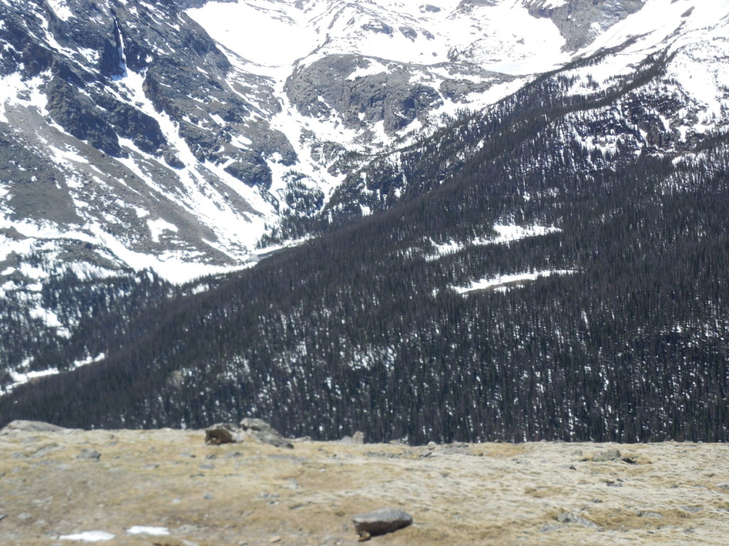
We took our time following the string of cars in front of us as we drove higher and higher. You have to go at a moderate pace as there are true hairpin turns along the way. You also want to drink in the vistas. At one stop, we saw some beaver-like animals that we think are Yellow-bellied marmots, according to a handout.
Staggered along Trail Ridge Road are pull-overs and rest stops with restrooms and picnic areas, as well as well-marked trail heads for hikers. In addition to rest areas and pull-offs, Trail Ridge Road has one visitor center, but there are several others along the other roads in Rocky Mountain National Park, as well as campgrounds, stables, boat launches, and emergency telephones. The visitor centers have information and maps.
If you plan to hike, the park department recommends that you hike early in the day and to get below the treeline or to a shelter by afternoon as the area is prone to afternoon thunder and lightning storms. Backcountry camping requires a permit. Weather and road conditions can change rapidly. For more information, click here.
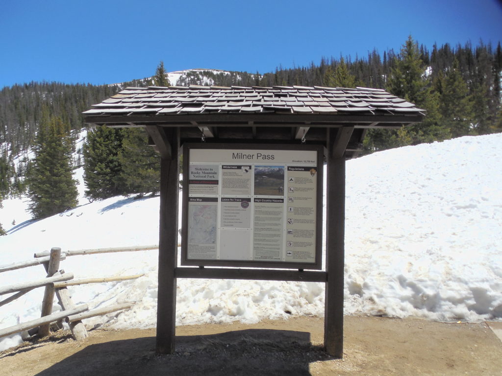
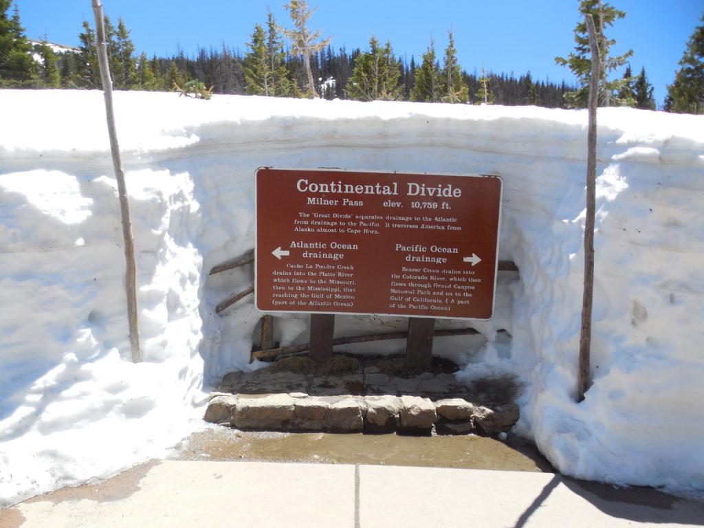
Milner Pass and the Continental Divide
On the western section of the Trail Ridge Road, we passed the highest point in the road, at 12,183 feet, and reached our goal of the Continental Divide at Milner Pass.
The Continental Divide in North America is the natural line formed by the highest points in the Rockies that divides the flow of water between the Pacific Ocean and the Atlantic Ocean. Rain or snow that drains on the east side of the Continental Divide flows towards the Gulf of Mexico or the Atlantic Ocean, while precipitation on the west side drains and flows toward the Pacific Ocean. There is actually a coalition to take care of the Continental Divide National Scenic Trail along the spine of the Rockies from Canada to Mexico.
Due to the Divide running along the highest and most rugged areas of the Rockies, it’s rare that a road crosses it. It was certainly a “high point” in our lives to cross over it via the Trail Ridge Road.